





Real-time geology during drilling.
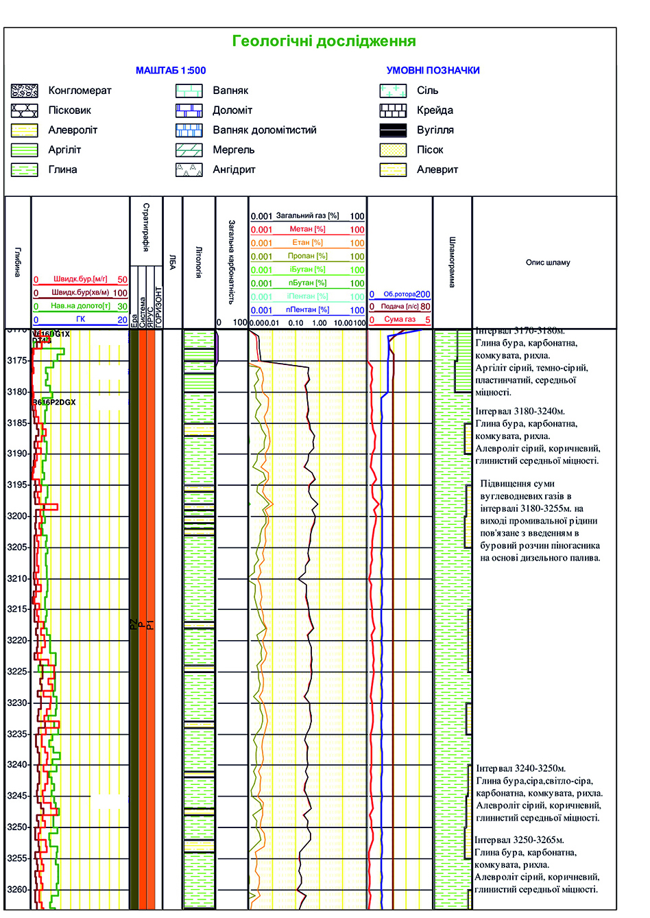 |
Geological survey is aimed to: - Optimize geological and petrophysical data acquisition; - Lithology differentiation; - Reservoir identification; - Reservoir saturation determination; - Estimate filtration capacity properties; - Identify marker horizon. Geological survey includes: - Cutting sampling with a given interval; - Estimation of gross lithology as a percentage of cuttings (plotted in the lithology column of the mud log); - Description of cuttings samples in terms of lithology, color, grain size, shape, sorting, porosity, texture and other characteristics relevant to rock type; - Core examination; - Identification of calcite, dolomite and undissolved residues relation in carbonate section; |